
படிமம்:LocationOceans transparent.png

இந்த முன்னோட்டத்தின் அளவு: 800 × 407 படப்புள்ளிகள் . மற்ற பிரிதிறன்கள்: 320 × 163 படப்புள்ளிகள் | 640 × 326 படப்புள்ளிகள் | 1,024 × 521 படப்புள்ளிகள் | 1,280 × 651 படப்புள்ளிகள் | 2,759 × 1,404 படப்புள்ளிகள் .
மூலக்கோப்பு (2,759 × 1,404 படவணுக்கள், கோப்பின் அளவு: 41 KB, MIME வகை: image/png)

|
This locator map image could be re-created using vector graphics as an SVG file. This has several advantages; see Commons:Media for cleanup for more information. If an SVG form of this image is available, please upload it and afterwards replace this template with
{{vector version available|new image name}}.
It is recommended to name the SVG file “LocationOceans transparent.svg”—then the template Vector version available (or Vva) does not need the new image name parameter. |
சுருக்கம்
| விளக்கம் |
|
| நாள் | 8 மார்ச்சு 2006 (first upload to common) |
| மூலம் | Image:LocationOceans.png (previo us: Image:LocationWorld.png) |
| ஆசிரியர் | User:Dux (previa: User:David Kernów - first upload to Commons) |
| அனுமதி (இக்கோப்பை மீண்டும் பயன்படுத்துதல்) |
Public Doman |
| ஒத்தக்கோப்பு |
|
Other
- color depth: 256 Colors
- transparency: On
அனுமதி
| I, the copyright holder of this work, release this work into the public domain. This applies worldwide. சில நாடுகளில் இது சாத்தியமில்லாது போகலாம். அவ்வாறாயின் : I grant anyone the right to use this work for any purpose, without any conditions, unless such conditions are required by law. |
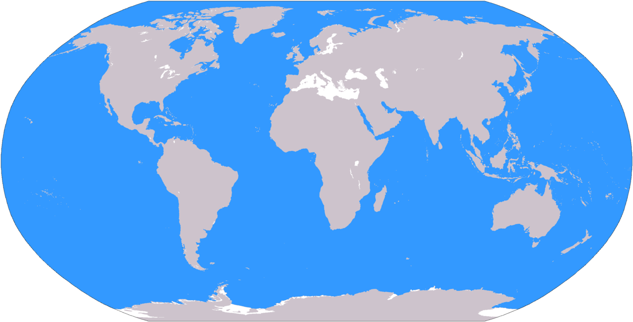
இந்தப்படிமம் அல்லது வரைப்படம் ஐக்கிய அமெரிக்காவின் நடுவப் புலனாய்வு நிறுவனத்தினால்(CIA) வெளியிடப்படும் உலக உணமைகள் நூலில்(World Factbook) இருந்து நேரடியாக அல்லது மாற்றங்களுடன் எடுக்கப்பட்டதாகும். ஐக்கிய அமெரிக்காவின் சட்டத்தின் படி உலக உணமைகள் நூலின் உள்ளடக்கங்கள் யாவும் பொது உரிமையாகும்.
|
 |
கோப்பின் வரலாறு
குறித்த நேரத்தில் இருந்த படிமத்தைப் பார்க்க அந்நேரத்தின் மீது சொடுக்கவும்.
| நாள்/நேரம் | நகம் அளவு சிறுபடம் | அளவுகள் | பயனர் | கருத்து | |
|---|---|---|---|---|---|
| தற்போதைய | 09:14, 3 ஏப்பிரல் 2006 | | 2,759 × 1,404 (41 KB) | Nux | Hopefully will fix rendering error to small images |
| 16:49, 1 ஏப்பிரல் 2006 |  | 2,759 × 1,404 (44 KB) | Nux | == Summary == {{Information| |Description= * '''English'''<br/>World map depicting ocenanic areas (in blue); map adapted from PDF world map at CIA World Fact Book. * '''Polski'''<br/>Mapa świata z zaznaczonym na niebiesko obsz |
கோப்பு பயன்பாடு
பின்வரும் பக்க இணைப்புகள் இப் படிமத்துக்கு இணைக்கபட்டுள்ளது(ளன):
கோப்பின் முழுமையான பயன்பாடு
கீழ்கண்ட மற்ற விக்கிகள் இந்த கோப்பை பயன்படுத்துகின்றன:
- az.wikipedia.org-திட்டத்தில் இதன் பயன்பாடு
- en.wikipedia.org-திட்டத்தில் இதன் பயன்பாடு
- pl.wikipedia.org-திட்டத்தில் இதன் பயன்பாடு
- sr.wiktionary.org-திட்டத்தில் இதன் பயன்பாடு
- tly.wikipedia.org-திட்டத்தில் இதன் பயன்பாடு
- tr.wikipedia.org-திட்டத்தில் இதன் பயன்பாடு